Home
GPS
Download
Business
Partners
Contact
Family
AVL
Links
History
AsOnTV
Las Vegas Maps, CES, and GPS Software
Updated 1800 Sunday 31st December 2000

Home
GPS
Download
Business
Partners
Contact
Family
AVL
Links
History
AsOnTV
Las Vegas Maps, CES, and GPS Software
Updated 1800 Sunday 31st December 2000

 Hi Folks ! Here are a few new maps of Las Vegas that can be
downloaded from the
USA Download Page and added to GPSS,
the GPS Software, that can be downloaded from the
DOWNLOAD Page .
I've updated the old Las Vegas mapping, uploaded in 1997, by this
new, improved mapping, to support demonstrations of GPSS at the
CES in Las Vegas, starting 6th January 2001.
Royaltek will be
demonstrating GPSS, both on their stand - booth 19249 at the Riviera
Hotel, and "on the road", with the "Saphire" GPS (right).
For more on this, visit
www.royaltek.com

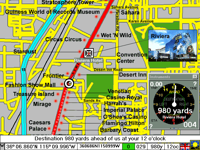
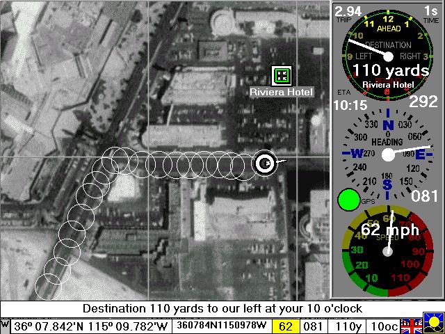
The Las Vegas street map above is based upon those expected to become available, for the whole of the USA, early in 2001. Watch www.gpss.co.uk for news, when this GPSS-compatible mapping is released, for free use with GPSS. The 3.8 Gigabytes of USA Street Level mapping has been processed down to a few hundred megabytes - suitable for upload to this web site and the "free" GPSS CDROMs The map below is a calibrated USGS aerial photograph, downloaded from the Microsoft TerraServer on terraserver.microsoft.com Thanks to Kevin Palivec - a new "GPS Enthusiast" in Texas, for finding this image for me.

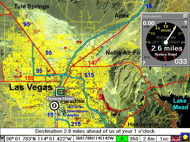
The map below is based on LANDSAT low resolution (80m) image + street mapping.

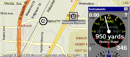
The picture below shows GPSS used with an ARED-generated
map from Microsoft Streets 2000, using the software on my
AutoRoute Page . I believe many
people will still choose to use GPSS in conjuction with
mapping from other CDROMs - particularly when the CDROMs
include their own excellent route planning software.

Mapping such as this, from Microsoft CDROMs, will NOT be made
publicly available - for the obvious copyright reasons. This is discussed
in some detail on the AutoRoute page - but in summary, it will require
you to have purchased a Microsoft "Streets" CDROM for any PC which will
use this mapping.