Home
GPS
Download
Business
Partners
Contact
Family
AVL
Links
History
AsOnTV
from 1996 ...
Italiano

Home
GPS
Download
Business
Partners
Contact
Family
AVL
Links
History
AsOnTV
from 1996 ...
Italiano
General
In early 1996 we modified GPSS to extend its use to 'in the air', as opposed to only 'on the road'. We welcome your assistance in the gathering of ideas and information to include within later free versions of the software.

Those that provide this assistance will be provided with an early free copy of the software with the extensions needed for air use. You will probably see the first examples of this application of GPSS on Television coverage of the Northampton Hot Air Balloon event on 16th until 18th August. See the 'GPSS in Balloons' page for details.
What do we expect the new free version of GPSS to do 'In the Air' ?
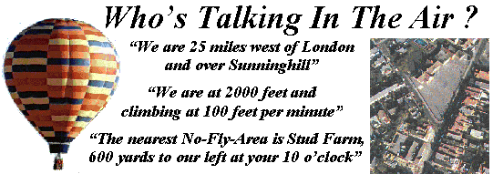
GPSS has recently been extended to possible Notebook PC use in light aircraft, gliders, microlights, hanggliders, helicopters, airships and balloons. Release of this capability is now dependent upon availability of good quality, safe, data - such as the locations of airfields or relevant 'no fly' areas. Some changes made were trivial, such as the computer saying, "we are over Ascot" instead of, "we are in Ascot". GPSS can be told in what type of vehicle it is being used. e.g. a car, light aircraft or hot air balloon. The facilities and style of voice dialogue are different, according to the vehicle. GPSS can extract altitude from the NMEA 'GGA' message, and make this available: "we are 2300 feet above sea level". (although particular care must be taken in view of safety and the current imprecision of GPS based altitude). If suitable terrain elevation data is available it may provide approximate altitude above ground level, and automatic warnings of approaching high ground. Directions, such as that to a searched-for place, or the destination, will be spoken more accurately in degrees clockwise from north. i.e. "destination 900 yards to north east at bearing zero five five degrees" as an alternative or addition to the current, "destination 900 yards ahead at your 11 o'clock". Facilities are provided to overlay the computer map with information such as "no fly" areas - according to the type of aircraft. e.g. that unfriendly farmer who hates hot air balloons ! Automatic checking for conflict with these areas will also be provided, with appropriate verbal warnings: "Warning ! we are within two miles of pig farm at grid location S U 9 3 3 6 7 3. Climb to above 2000 feet, or avoid overflight. The location is now 1.9 miles to the south east, at bearing one two four degrees" (for hot air balloon use). We intend to provide software to which the user can add his own data.
What Information do we want from you ?
We cannot undertake to return any materials such as maps or computer media supplied - but we will provide a copy of the upgraded GPSS software, on typically three floppy disks, to those we have considered helpful. We would hope to receive feedback, however informal, after use of this software 'in the air'. Information provided to us by post could be any combination of the following: written comments on use of previous versions of GPSS in the air, written suggestions on facilities to include in the new version; supporting information such as maps and other publications; copyright free computer data, on DOS formatted floppy disk, such as airfield locations, 'no fly' zones, etc. Recorded flight data on floppy disk from an NMEA GPS receiver (e.g. use Windows Terminal on Notebook PC). Preferably the file should include $GPGGA and $GPVTG NMEA sentences. These .NME files, capable of being 'played back' by GPSS, should ideally be over a small area, such as near an airfield, and be accompanied by a detailed 1:50,000 OS Landranger map (I know, the maps cost £5 each, but even the free versions of GPSS are worth very much more !). Please 'phone us first.